
PRECISION FARMING
In all agricultural projects, we will implement the most appropriate precision agriculture solutions that will allow us to put the information technology at the service of the management team, to monitor data so that it can draw the best conclusions and thus, to make the right decisions.
Precision farming uses ICT for managing crops and generating agronomic variables that allow more accurate analysis of the crop. We do this, to optimize resources, reduce costs, to dose the application of inputs (water, fertilizers, pesticides) with precision, maximize performance and contribute to the sustainability of agricultural systems.
The most commonly used technologies are:
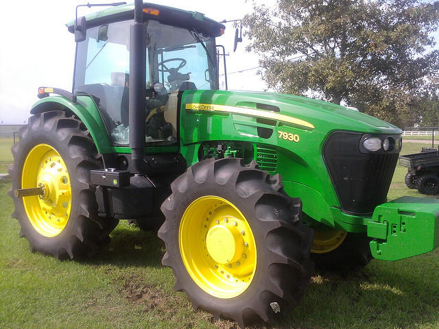
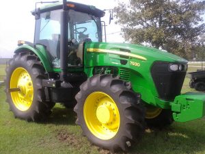
Machinery GPS guided autonomous driving
Guided by GPS machinery can cover a plot according to a predetermined plan by the farmer. The driver, once in the plot, uses telemetry to monitor the process so that everything goes as planned.
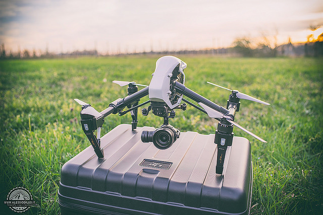
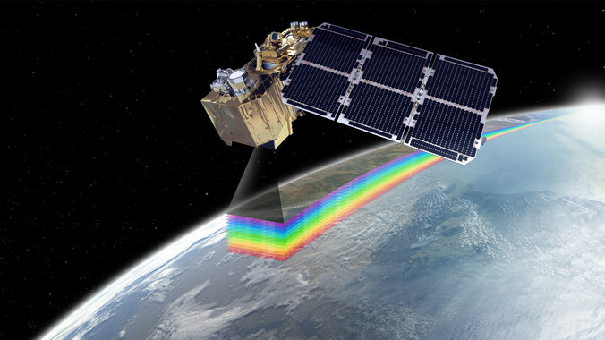
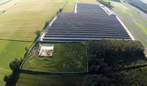
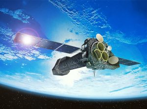
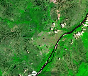
Satellite images and drones
Satellite imagery and drones, capture images by special multispectral and thermal cameras take aerial photographies of crops that are not visible to the human eye spectra. With the data obtained from these cameras, we can analyze, for example, water stress in the plot of land, the crop nutritional needs, diseases, …, and from there on, take the appropriate decisions.
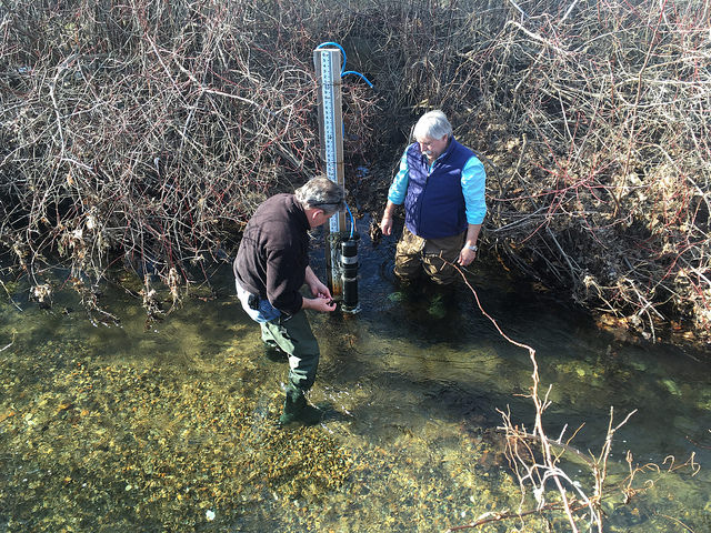
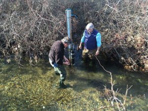
Sensorization of the land plot
By installing specific weather stations to identify the particular soil needs. Humidity and temperature sensors will help us identify the soils characteristics at various depths, the amount of rainfall, the speed, and direction of wind, the solar radiation, leaf wetness, and an endless amount of parameters that can be measured, stored and analyzed for better future crops.
Soil mapping
The soil is more complicated and changeable than it seems, and we can have a significant difference in the soil in plots that are just 20 meters apart. Information we can get through specific machinery is soil maps, which give us continuous data of the entire plot with parameters such as pH, electrical conductivity, texture (clay, sand), principal macronutrients (NPK ).
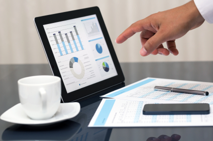
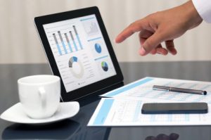
Big Data
Cloud computing, analysis of Gigabytes or even Terabytes of data. We collect all these data from the various sensors, images, field notebooks.
All data is useful. With it, we can generate dashboards which together with statistical analysis and algorithms, allow us to make patterns of behavior that help us make right decisions concerning: timing and application rate of fertilizers and pesticides, harvest forecasts, predicting frost irrigation needs in real time and even drive automatic irrigation based on these analyzes.
In all agricultural projects, we will implement the most appropriate precision agriculture solutions that will allow us to put the information technology at the service of the management team, to monitor data so that it can draw the best conclusions and thus, to make the right decisions.
Precision farming uses ICT for managing crops and generating agronomic variables that allow more accurate analysis of the crop. We do this, to optimize resources, reduce costs, to dose the application of inputs (water, fertilizers, pesticides) with precision, maximize performance and contribute to the sustainability of agricultural systems.
The most commonly used technologies are:
Machinery GPS guided autonomous driving
Guided by GPS machinery can cover a plot according to a predetermined plan by the farmer. The driver, once in the plot, uses telemetry to monitor the process so that everything goes as planned.
Satellite images and drones
Satellite imagery and drones, capture images by special multispectral and thermal cameras take aerial photographies of crops that are not visible to the human eye spectra. With the data obtained from these cameras, we can analyze, for example, water stress in the plot of land, the crop nutritional needs, diseases, …, and from there on, take the appropriate decisions.
Sensorization of the land plot
By installing specific weather stations to identify the particular soil needs. Humidity and temperature sensors will help us identify the soils characteristics at various depths, the amount of rainfall, the speed, and direction of wind, the solar radiation, leaf wetness, and an endless amount of parameters that can be measured, stored and analyzed for better future crops.
Soil mapping
The soil is more complicated and changeable than it seems, and we can have a significant difference in the soil in plots that are just 20 meters apart. Information we can get through specific machinery is soil maps, which give us continuous data of the entire plot with parameters such as pH, electrical conductivity, texture (clay, sand), principal macronutrients (NPK ).
Big Data
Cloud computing, analysis of Gigabytes or even Terabytes of data. We collect all these data from the various sensors, images, field notebooks.
All data is useful. With it, we can generate dashboards which together with statistical analysis and algorithms, allow us to make patterns of behavior that help us make right decisions concerning: timing and application rate of fertilizers and pesticides, harvest forecasts, predicting frost irrigation needs in real time and even drive automatic irrigation based on these analyzes.